Difficulty
Unrated
Viz (last reported 49254h ago)
Max Depth
Unknown
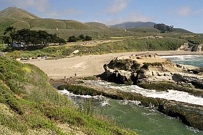
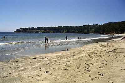
Snorkeling and Scuba Diving at Montana de Oro Beach
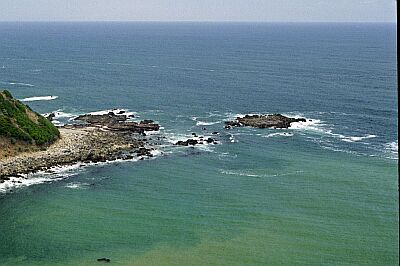
This beach is a nice destination for the day-- plenty to see for a two-tank dive. The underwater scenery is quite rocky, especially around the point where fish, abalone and crab abound.
If coming from Highway 101, take the Los Osos Valley Road exit to the North (3 miles South of San Luis Obispo). If coming from Morro Bay, take the Bay Blvd exit South from Highway 1, and turn right on Los Osos Valley Road. Los Osos will merge into Pecho Road. After the merge, drive for 3.8 miles to the park entrance.
Access
shore
Nearby Shops
Tide Report
5
4
3
2
1
(9)
Currently viewing a specific review. View all reviews

Kendall Roberg
Aug 1, 2005, 12:00 AM
scuba
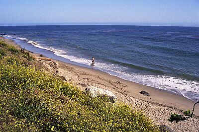
Also known as Spooner's Cove, this is a great site for all scuba levels. We went out on the left side towards the middle of the bay. Visibility was about 12 feet but I have heard reports of visibility being up to 30 feet (also down to 1 or 2 feet). We followed a rock formation out a few hundred yards until it ended and opened to a huge sandy bottom. We saw millions of tiny shrimp and small jellyfish eating them. Some of the best plant life I have seen; healthy, lush bull kelp and others nice plants. This location is often foggy, but you might have luck with the fog lifting in the afternoon. Crowded in the summer and deserted the rest of the year. Overall a great site with lots to see!
Other Locations Nearby