Difficulty
Unrated
Viz (last reported 49894h ago)
Max Depth
Unknown
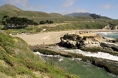
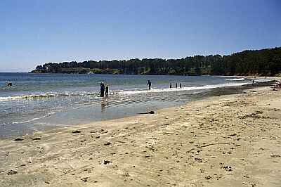
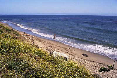
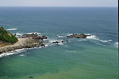
Snorkeling and Scuba Diving at Montana de Oro Beach
This beach is a nice destination for the day-- plenty to see for a two-tank dive. The underwater scenery is quite rocky, especially around the point where fish, abalone and crab abound.
If coming from Highway 101, take the Los Osos Valley Road exit to the North (3 miles South of San Luis Obispo). If coming from Morro Bay, take the Bay Blvd exit South from Highway 1, and turn right on Los Osos Valley Road. Los Osos will merge into Pecho Road. After the merge, drive for 3.8 miles to the park entrance.
Access
shore
Nearby Shops
Tide Report
5
4
3
2
1
(9)
Currently viewing a specific review. View all reviews

Jimmy
Mar 5, 2008, 12:00 AM
scuba
I had heard some decent things about Montana de Oro, and they were all false. There were large, capsizing waves coming in all day. Water was very murky, with strong current, and very difficult to get in. The site had less than 1' vis. Swam all the way out past the point on the left side hoping for some better vis. Dropped down to the bottom (avg 30' - 40'), with about 1' vis. There was also a strange current out there; it took over an hour to return to shore. But, having said all that, if the waves were smaller that weekend, it would have been an easy place to enter and exit, sandy shores. I wouldn't recommend it though. Head up north for better vis.
Other Locations Nearby